
Ben of Howth
The Ben of Howth (/ˈhoʊθ/HOHTH; Irish: Beann Éadair ) is a hilly area[2] on Howth Head, adjacent to the 171 metre high Black Linn,[2] the peninsula's highest point.[2]
Geography
Lying approximately 1½ km to the south of Howth village, the nearest road is Windgate Road, from which a path leads west past Green Hollows quarry.
Two of Howth's other peaks are nearby, Shelmartin or Shielmartin[2] which lies approximately 1 km to the west, and Dun Hill,[2] 0.5 km to the north west.
Gallery
 North-facing view
 Northwest facing view
 Ben of Howth, southwest facing view
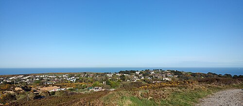 Ben of Howth, east view
References and notes
- 12"East Coast Area - Ben of Howth". MountainViews. Ordnance Survey Ireland. Retrieved 5 July 2015.
- 12345The Neighbourhood of Dublin - Chapter 32, Weston St John Joyce, Dublin, MH Gill and Son, 1912, - multiple mentions
53°22′23″N6°04′12″W / 53.37319°N 6.07002°W / 53.37319; -6.07002
Categories:
- Howth
- Marilyns of Ireland
- Mountains and hills of Fingal