
Lingeigh
| Meaning of name | heather island |
|---|---|
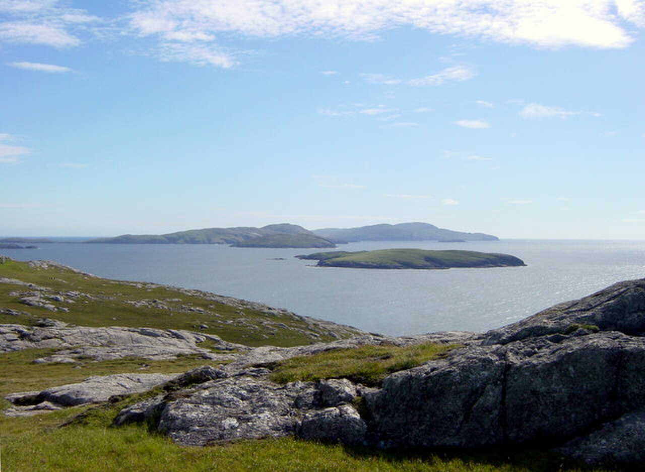 Lingeigh from Vatersay. It is the small island behind the first small one. | |
| Location | |
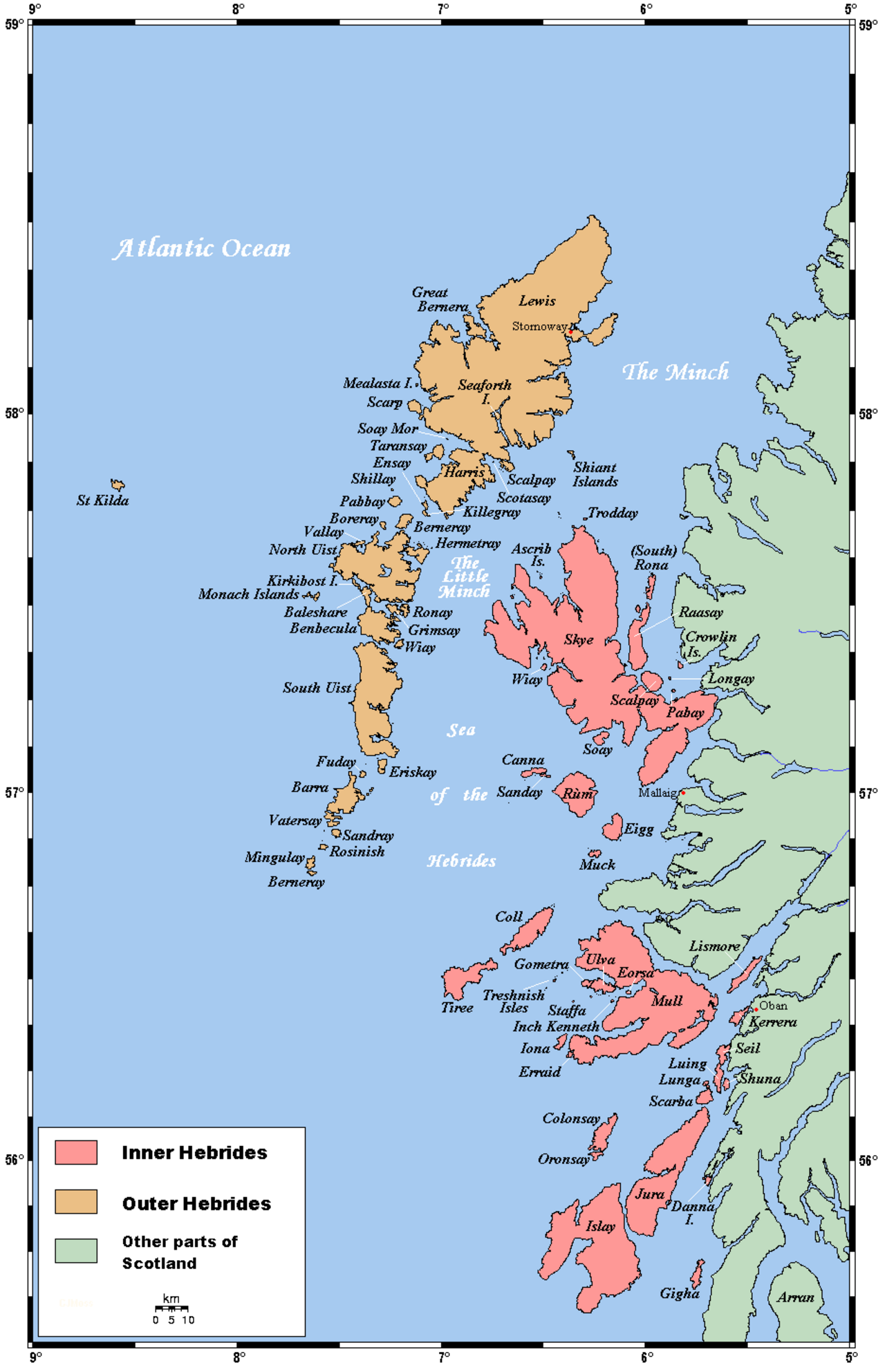
  Lingeigh Lingeigh shown within the Outer Hebrides | |
| OS grid reference | NL602896 |
| Coordinates | 56°52′12″N 7°34′48″W / 56.87°N 7.580°W / 56.87; -7.580 |
| Physical geography | |
| Island group | Uists and Barra |
| Area | 27 ha (1⁄8 sq mi)[1] |
| Highest elevation | 83 m (272 ft) |
| Administration | |
| Council area | Na h-Eileanan Siar |
| Country | Scotland |
| Sovereign state | United Kingdom |
| Demographics | |
| Population | 0 |
 | |
| References | [2] |
Lingeigh or Lingay is an unpopulated islet in the Outer Hebrides. It lies towards the southern end of the archipelago, just north of Pabbay and five kilometres (three miles) south of Vatersay. There is a cave on the southeast side of the island.
Notes and references
- ^ "Rick Livingstone's Tables of the Islands of Scotland" (pdf). Argyll Yacht Charters. Retrieved 12 December 2011.
- ^ Ordnance Survey. OS Maps Online (Map). 1:25,000. Leisure.
Wikimedia Commons has media related to Lingeigh.
56°52′22″N 7°34′47″W / 56.87289°N 7.57963°W / 56.87289; -7.57963
 | This article about a location in the Western Isles is a stub. You can help Wikipedia by expanding it. |

Original text
Rate this translation
Your feedback will be used to help improve Google Translate